Underpinning in Penrith
All five of our sample points in Penrith fell on the Richmond unit, mainly flat terrace ground. Penrith City Council's plan also applies a flood planning control to land the Council considers within its flood planning area, and that control is council-wide: no map we read ties a particular house to it.
Thanks — we have your enquiry. Someone will be in touch shortly. Prefer to talk now? Call (02) 9072 0403.
Underpinning around Penrith
The soil-landscape report describes the Richmond unit as Quaternary terrace ground that is mainly flat, with soils of poorly structured orange to red clay loams, clays and sands, and plastic clays in drainage lines. Its limitations list localised seasonal waterlogging and localised water erosion hazard on terrace edges. That describes a mapped unit and says nothing about any one lot.
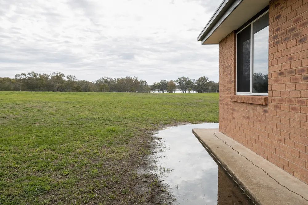
Waterlogging matters to a footing because CSIRO says saturation creates a boglike suspension in the soil that causes it to lose virtually all of its bearing capacity. On flat ground, where water has nowhere to run, drainage around a house is the first thing to check, and the same guide names roof plumbing, blocked gutters and downpipes that end at the wall as common ways water reaches a footing.
Permits and Penrith City Council rules
Penrith Local Environmental Plan 2010 clause 5.21 says consent must not be granted on land the consent authority considers to be within the flood planning area unless it is satisfied the development is compatible with the flood function and behaviour of the land and meets its other tests. Penrith DCP 2014, C3 section 3.5, asks for a flood study where relevant and for a qualified consultant's report that the structure of the building works is adequate to deal with flooding; Council will not grant consent for new development in floodways or high hazard areas. These apply to land subject to the plan's flood planning provisions, which Council decides. The Richmond report itself lists localised flood hazard among the unit's limitations, so this page states a tendency of the ground the unit describes, not a fact about any house.
Source: Penrith Local Environmental Plan 2010 cl 5.21 (current version for 24 July 2026); Penrith Development Control Plan 2014 Volume 1, C3 (amended February 2026); NSW soil landscape report for the Richmond unit; read 21 September 2026. — confirm current requirements with Penrith City Council.
Our Penrith service area
An enquiry from Penrith is referred on to an independent provider, who gets in touch to look at the house.
See all Underpinning in Sydney. We also work in Castle Hill, where hilly shale country brings a landslide clause instead.
Call (02) 9072 0403Last reviewed · Updated · First published